
Connectivity Initiative
Understand how urban growth, wildlife movement, and smart planning intersect across the West Valley through our Regional Connectivity Initiative.
The Problem
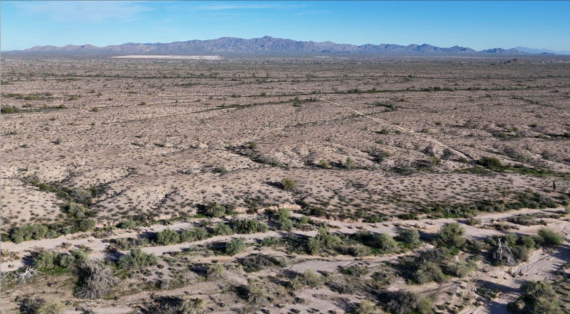
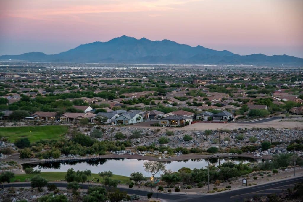
- A transformation of 939 square miles of open desert around the White Tank Mountains into cities
- Habitat fragmentation and isolation — the #1 threat to biodiversity
What’s at Stake
- Wildlife, Water, Quality of Life
- Ecosystems
- West Valley Identity
Who Needs to Care
- Developers & Decision Makers
- Cities
- Communities & West Valley Residents
Our Solution
- Science + Planning
- Partnership across sectors
- Integrated into future development
White Tank Mountains Conservancy is leading a proactive, data-driven effort to balance growth and conservation before development happens.
Interactive Learning
Explore the Interactive StoryMap Collection
See what happens to the West Valley — and what is at stake — if we do nothing.
Connectivity Vision
Solutions Through Collaboration

What’s at Stake
Booming Cities
What you will learn
The White Tank Mountains’ unique ecosystem
How future urban growth, transportation, and flood control will shape the region
What current science tells us about wildlife movement and habitat needs
Where wildlife corridors make the most sense and how they can complement parks, trails, development, and infrastructure
Collaboration
We Are Working Alongside
- Municipalities
- Developers
- State Agencies
- Conservation Partners
Together, we are identifying solutions that protect wildlife connectivity while supporting responsible growth and long-term economic vitality.
Impact
Why It Matters
For Communities
Protects open space, recreation, and quality of life
For Developers
Supports smarter planning, reduces conflict, and aligns with emerging policy and expectations
For Supporters & Advocates
Helps preserve biodiversity and ensures the White Tank Mountains remain a defining landscape for future generations
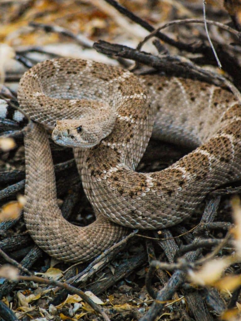
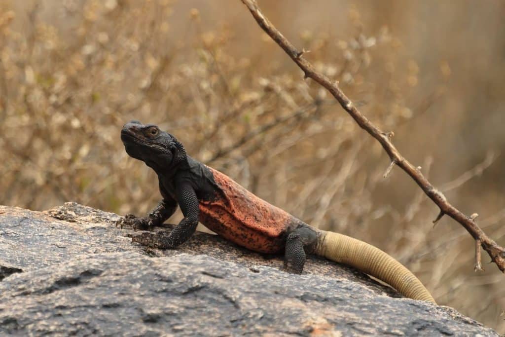
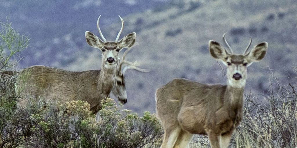
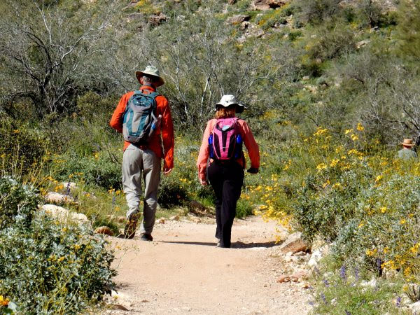
The White Tank Mountains
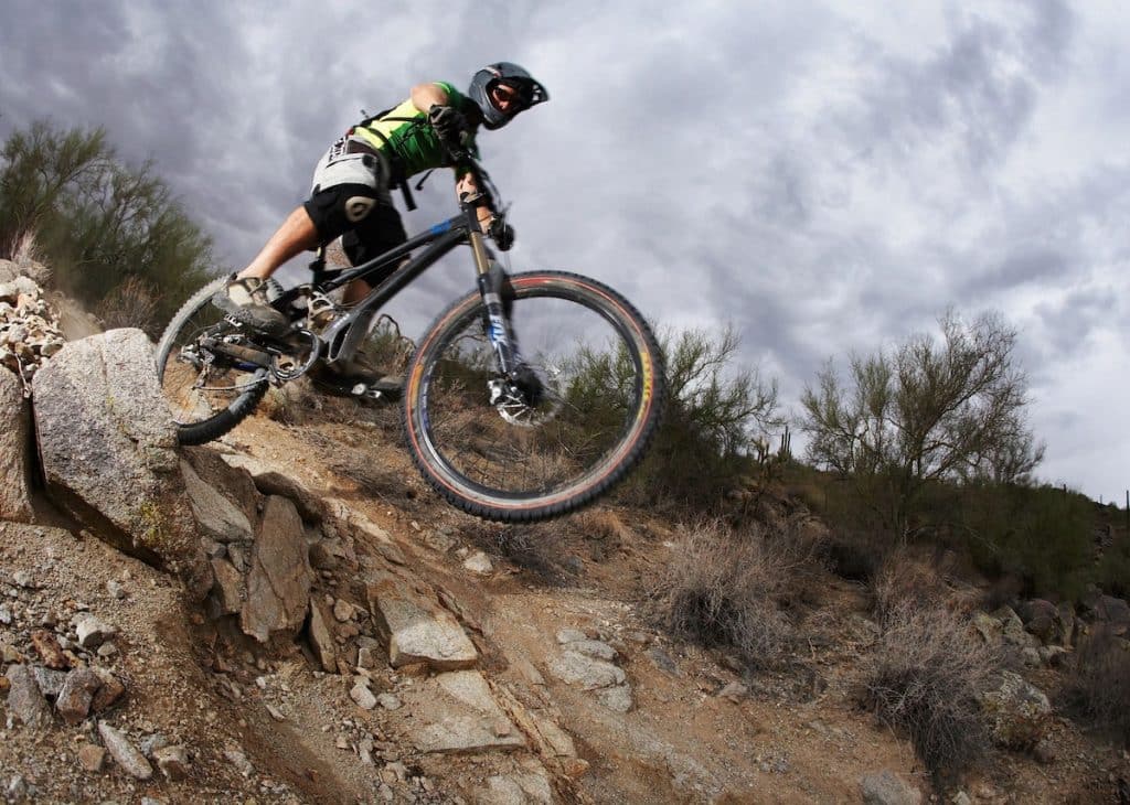
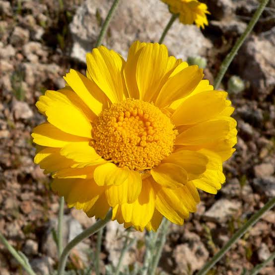
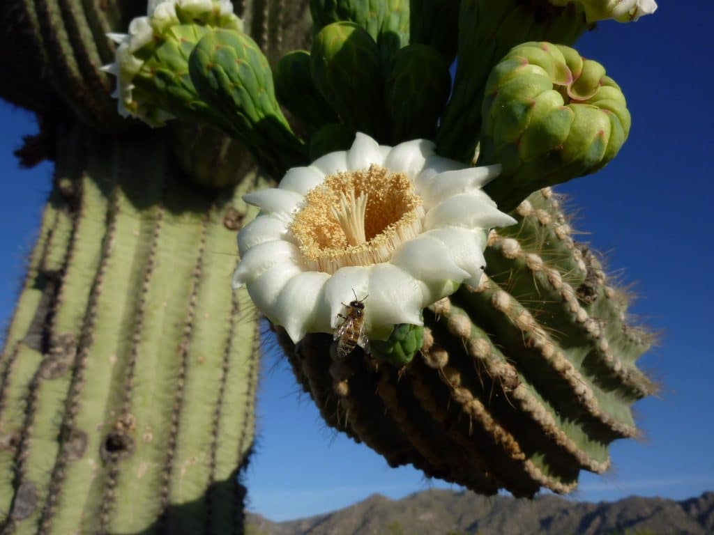
Wildlife, Recreation and Plants





Milestones
Key Achievements
Phase 1
CWLR Concept Developed
Development of the Conceptual Wildlife Linkage Report (CWLR) — a science-based framework for connectivity planning.
Today
Policy Integration
CWLR incorporated into the City of Buckeye policy guidance and land use decision-making.
Supported by:

Get Involved
Be Part of the Solution
Support conservation planning that protects the West Valley’s wildlife, open space, and quality of life for generations to come.
