
Research & Management
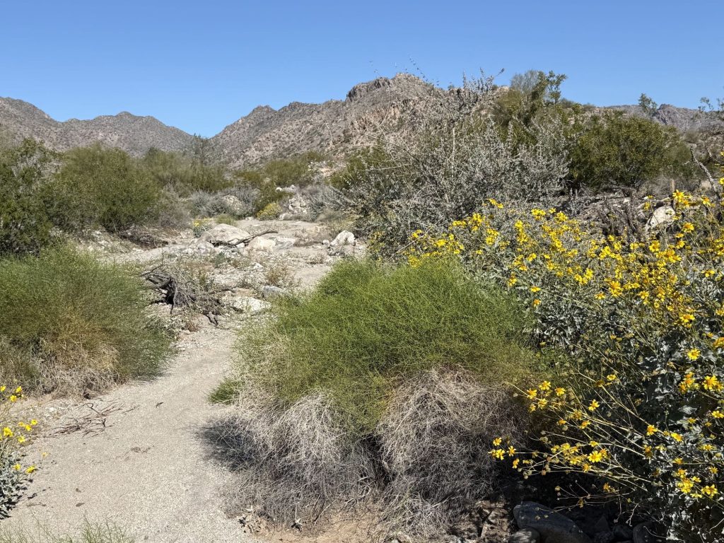
In 2023, WTMC launched a wildlife research partnership with Arizona Game and Fish Department (AZGFD) supported by the Nina Mason Pulliam Trust. The project involves the collection of data on wildlife movement around the White Tank Mountains region using daytime road mortality surveys, aerial surveys, mule deer collars, and trail cameras. Guided by science and data, WTMC educates landowners and land-use decision-makers about key wildlife movement patterns and how to effectively incorporate the conservation of wildlife corridors into their future land-use and development plans.
Daytime Road Mortality Surveys
Vehicle collision data help identify where medium and large mammals frequently attempt to cross roadways, highlighting wildlife crossing hotspots along major transportation corridors such as Sun Valley Parkway and the future I-11.
By understanding where wildlife movement intersects with roads, researchers and planners can recommend crossing structures, fencing, and other mitigation measures that reduce wildlife-vehicle collisions. Over time, these data support safer transportation planning while maintaining critical wildlife connectivity across the landscape.
Baseline Biological Data Acquisition for the White Tank – Belmont – Vulture Mountains Wildlife Linkage: Summary Report 2024

Overnight Road Cruising Survey
These surveys use thermal imaging and direct observation to detect reptiles, amphibians, and mammals crossing or attempting to cross roadways. The data provide insight into species diversity, wildlife abundance, and animal interactions with transportation corridors.
Combined with daytime monitoring, the surveys help identify key wildlife movement corridors and roadway crossing hotspots. Over time, this information supports conservation planning, improves habitat connectivity, and helps reduce wildlife-vehicle conflicts.
Baseline Biological Data Acquisition for the White Tank – Belmont – Vulture Mountains Wildlife Linkage: Summary Report 2024

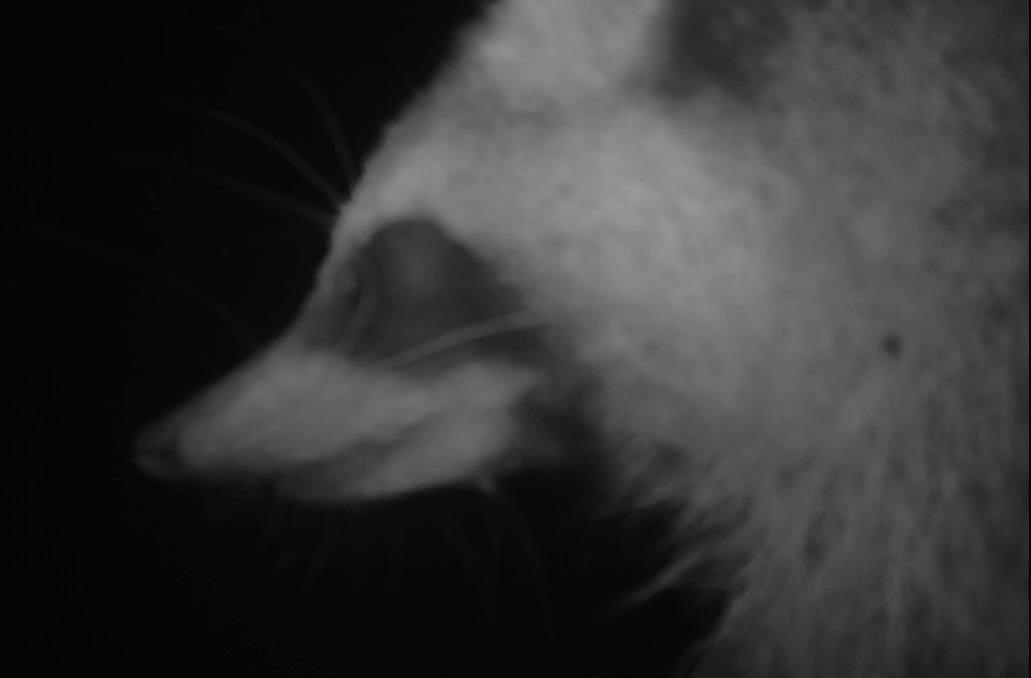
Photo © Arizona Game & Fish Department
Mule Deer Collar Deployment
Mule deer are fitted with GPS collars within the Connectivity Initiative’s conceptual linkage area along the lower Hassayampa River corridor and surrounding plains. Each collar will record at least eight locations per day for three years, providing data on home ranges, movement patterns, and habitat use.
Those findings will improve our understanding of how mule deer move across the landscape and help refine wildlife linkage design and conservation priorities.

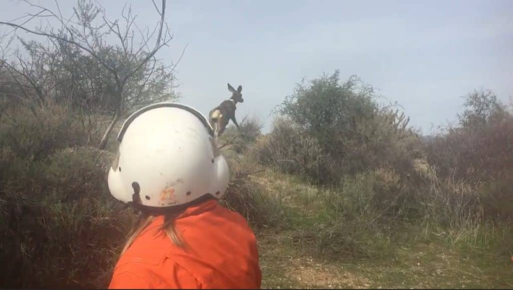
AZGFD biologist fitting a mule deer with a GPS collar after capture. Photo © Arizona Game & Fish Department
Trail Cameras for long-term monitoring tool
Monitoring at nine crossings along the Central Arizona Project (CAP) Canal documents how medium and large mammals approach and cross this major barrier to wildlife movement.
Understanding how animals navigate the canal is critical to maintaining connectivity across the landscape.
The data help identify the most important crossing structures for wildlife and guide future conservation investments and management actions. Continued monitoring will also track changes in wildlife movement as the region grows, supporting long-term habitat connectivity and wildlife conservation.


Photo © Arizona Game & Fish Department
Research & Management
Number of Species Identified (2026)
590
Animals
650
Plants
You Can Help
By using the iNaturalist or eBirding apps, you too can help with our research
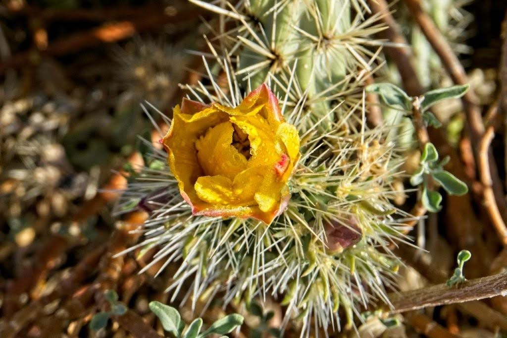
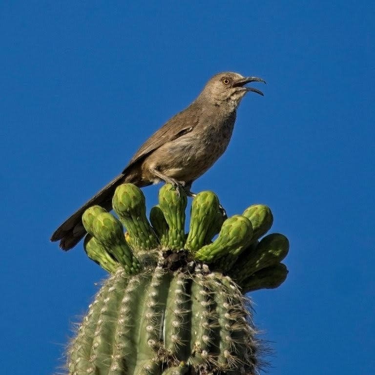
Photo © Arizona Game & Fish Department
Plans & Research


Flood Control District of Maricopa County
Sun Valley Area Drainage Master Plan Update: Alternative Analysis & Evaluation
Sun Valley ADMP Update Biological Overview Supplementary Report
Work in Progress. The report will be made public once complete.
Reports
Baseline Biological Data Acquisition for the White Tank – Belmont – Vulture Mountains Wildlife Linkage: Summary Report 2024
This work complements and expands contract work between AZGFD and the Maricopa County Flood Control District (FCD) for the Sun Valley ADMP.
AZGFD – Baseline Biological Data Acquisition for the White Tank – Belmont – Vulture Mountains Wildlife Linkage: Summary Report 2025
This report aids planners, developers and community members on wildlife connectivity using case studies, policies, and best practices from around the United States.
Research Proposal (no completion report yet):
AZGFD – Mule Deer Collar Deployment and Continued CAP Crossing Structure Monitoring in the White Tank – Belmont Mountains Linkage Zone
Camera monitoring Sept 2025-2026; collar deployment Feb 2026 and ongoing
