

The last year has been exciting and highly productive for the Connectivity Initiative (CI). Significant progress has been made in locating and planning wildlife corridors that will provide connectivity that will facilitate and preserve wildlife movement between the White Tank Mountains, the Belmont Mountains, the Hassayampa River, and the Vulture Mountains.
Below is some background information that will bring you to where we are today.
In October 2021, Howard Hughes announced they would buy the proposed 36,000-acre Douglas Ranch. This area lies west of the White Tank Mountains (between the Hassayampa River and the Belmont Mountains). It contains valuable habitat that currently provides relatively unobstructed passage for wildlife of all sizes and species. From the start, Howard Hughes has realized the incredible ecological importance of its holdings. They have been an active stakeholder with the WTMC CI team in identifying and working with other landowners and the City of Buckeye to locate a wildlife corridor across the landscape.
The City of Buckeye asked WTMC to facilitate a dialogue with developer stakeholders to determine where a corridor could best be sited based on the area’s biological research and existing entitlements. This was an incredible opportunity for WTMC to share its knowledge and convene the many landowners to communicate with them, educate them on the importance of conserving wildlife connectivity, and develop a vision and concept to develop the West Valley differently from many other master-planned communities.
In the Spring of 2022, with a generous grant from the Nina Mason Pulliam Charitable Trust, WTMC embarked on two critical steps in wildlife connectivity planning in the West Valley.
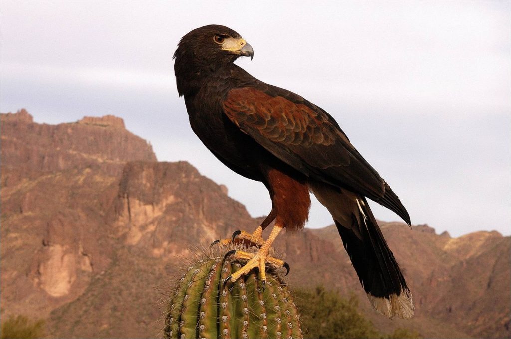
The first step was to refine previous data collection efforts, which have contributed significantly to regional wildlife connectivity planning. Despite past research, there remained gaps in WTMC’s knowledge of wildlife distribution and movements within and around the previously identified wildlife linkage in the West Valley. To address data collection needs, WTMC engaged the Arizona Game and Fish Department (AGFD) in the fall of 2022 to undertake a baseline biological data study within the White Tank – Belmont Mountains linkage zone. This research included driving road mortality surveys, nighttime road cruising, and spotlight and thermal surveys targeting medium-size and large mammals on existing roads along the proposed I-11 corridor within the White Tank/Belmont Mountains linkage zone. Additionally, AZGFD conducted aerial surveys of the Hassayampa Plains for medium-size and large mammals and track surveys at the Hassayampa River and Jackrabbit Wash Central Arizona Project (CAP) siphons to identify species crossing the canal.
The second step was to begin a robust and extensive developer stakeholder engagement process with the current landowners in the West Valley. In October 2022, WTMC hired Laurel Arndt as the CI’s Program Manager and contracted with Logan Simpson to provide land use planning and design services. Since then, WTMC has held six successful and highly productive meetings with developers, land managers, and agencies. These entities hold real estate or manage property that may overlap with the wildlife linkage footprint.
The outcome of these collaborative meetings is the development of overarching design concepts and locations for several wildlife corridors that would most align with future development plans while connecting and conserving the biologically best habitats for wildlife. This Draft Linkage Concept represents a biological recommendation for wildlife connectivity based on the past and current AZGFD wildlife research findings and recommended linkage design considerations.
The Draft Linkage Concept is now being presented to the developer stakeholders, municipalities, and agencies in an iterative process for further input and refinement.
The goal is to have a Linkage Concept report that the City of Buckeye can adopt as an integral and essential codified document that will be applied in perpetuity to all future development in the West Valley. It will establish the design guidelines and identify the wildlife corridor footprints necessary to sustain wildlife movement. The report will serve as guidance to transportation, flood control, parks, and land use planning across the region, to the Maricopa County Departments of Parks and Recreation, Flood Control, and Transportation, as well as State transportation authorities, all of which have included objectives for conserving connectivity in some of their plans across this region.
The WTMC CI team still has a lot of work to conduct to reach its goal of a Linkage Concept report.
We extend many thanks to Dana Warnecke, Biologist and GIS Wizard; Janelle Siefert, Interim Executive Director; Laurel Arndt, Program Manager; Colin Beach, AGFD Research Biologist; and Laura McBride of the Nina Pulliam Charitable Trust.
Please support the Connectivity Initiative by visiting the Conservancy website and donating!
